

Backcountry Avalanche Forecast Central Sierra Nevada
Sierra Avalanche Center
www.sierraavalanchecenter.org
- Issued
- Friday, December 8, 2023 - 6:49AM
- Expires
- Saturday, December 9, 2023 - 6:49AM
- Author
- Brandon Schwartz
The Bottom Line
Shifting winds continue to drift snow into cohesive slabs and there is persistent weakness in the existing snowpack. The avalanche hazard is complicated by the potential to trigger avalanches low on the slope, well below traditional avalanche start zones. There is a high likelihood of serious trauma for anyone caught in an avalanche in the currently rocky, shallow snowpack. If in doubt or faced with uncertainty, choose not to travel in or below avalanche terrain.
Avalanche Danger
Friday, December 8, 2023
Saturday, December 9, 2023
- Above Treeline3 - Considerable
- Near Treeline3 - Considerable
- Below Treeline3 - Considerable
 1 - Low | 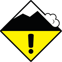 2 - Moderate | 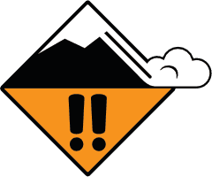 3 - Considerable | 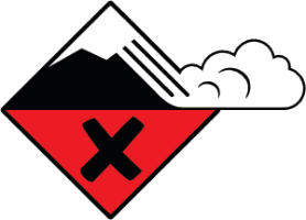 4 - High | 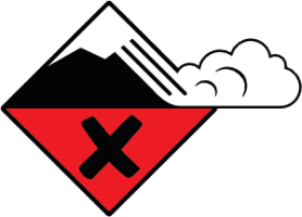 5 - Extreme | |
|---|---|---|---|---|---|
| Travel Advice | Generally safe avalanche conditions. Watch for unstable snow on isolated terrain features. | Heightened avalanche conditions on specific terrain features. Evaluate snow and terrain carefully; identify features of concern. | Dangerous avalanche conditions. Careful snowpack evaluation, cautious route-finding and conservative decision-making essential. | Very dangerous avalanche conditions. Travel in avalanche terrain not recommended. | Extraordinarily dangerous avalanche conditions. Avoid all avalanche terrain. |
| Likelihood of Avalanches | Natural and human-triggered avalanches unlikely. | Natural avalanches unlikely; human-triggered avalanches possible. | Natural avalanches possible; human-triggered avalanches likely. | Natural avalanches likely; human-triggered avalanches very likely. | Natural and human-triggered avalanches certain. |
| Avalanche Size and Distribution | Small avalanches in isolated areas or extreme terrain. | Small avalanches in specific areas; or large avalanches in isolated areas. | Small avalanches in many areas; or large avalanches in specific areas; or very large avalanches in isolated areas. | Large avalanches in many areas; or very large avalanches in specific areas. | Very large avalanches in many areas. |
Avalanche Problems (2)
Problem #1: Wind Slab
Problem Type
Aspect/Elevation
Likelihood
Size
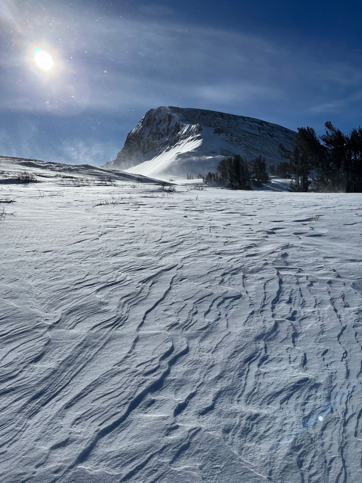
(12/07/2023) Visible wind slab clues that include drifting snow, rougher wind scoured areas and smoother wind slab deposit areas. Elephants Back, Carson Pass, CA Photo: SAC
Strong winds over the last 36 hours have drifted and deposited recent new snow into cohesive wind slabs. Winds are in the process of shifting from SW to NE which will redistribute snow on the ground. Expect to encounter a mix of wind-loaded and wind-scoured areas above treeline and near treeline across all aspects.
Look for clues indicating the presence of wind slabs such as visible drifting snow, cornice formations, wind drifts, wind textured snow surfaces, and scouring vs deposition patterns on the ground. Consider avoiding areas where wind drifted snow has been deposited, especially if weak faceted (sugary) snow exists in the snowpack below.
Problem #2: Persistent Slab
Problem Type
Aspect/Elevation
Likelihood
Size
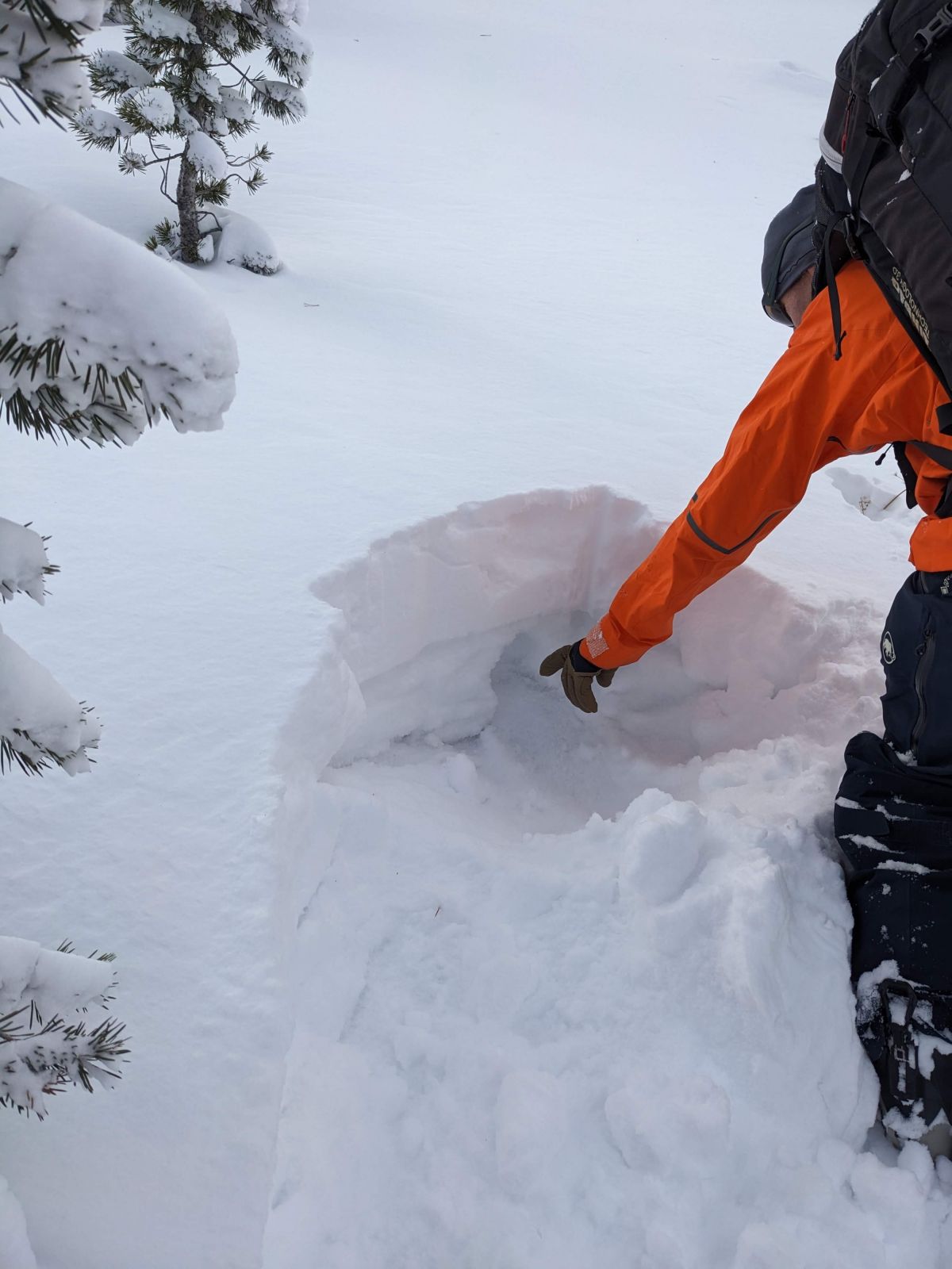
(12/7/2023)
New snow has accumulated above the old snow which is weakest on sheltered NW-N-NE aspects. Tamarack Peak, NV Photo: SAC
Recent new snow deposited on top of a weak, faceted snowpack on NW-N-NE aspects. The structure and degree of weakness of the snowpack varies widely by location and by elevation. Regardless, numerous problematic weak layers exist. This avalanche problem is expected to remain with us for some time. Signs of instability may become more prominent today and tomorrow as the recent new snow settles and becomes more of a cohesive slab.
While wind slab is expected to remain the most widespread avalanche problem today, persistent slab is the more difficult problem to manage. Signs of instability such as recent avalanches, snow surface cracking, snowpack collapse, or whumpfing sounds are indications to avoid NW-N-NE aspect avalanche terrain in the area. Keep in mind that previous NE wind events may have scoured weak snow out of the upper portion of a slope, laying a trap of weak snow on the lower half of the slope that is just waiting for a trigger. Anticipate wide avalanches that might be triggered low on the slope.
Forecast Discussion
More on the persistent slab problem: In most areas, the weak faceted (sugary) snowpack exists above about 8,000', but could be encountered as low as 7,200' in isolated locations. Look for an easy to miss thin layer of faceted snow on top of the uppermost rain crust in the snowpack (photo below). As elevation increases expect to find layers of faceted snow in between rain crusts. Above about 8,500' or so, rain crusts disappear and the snowpack becomes nearly all weak faceted snow. Generally speaking, the higher up you go on wind protected NW-N-NE aspects, the weaker the snowpack.
There is still the potential to hit many obstacles (rocks, logs, open water, bushes, etc.) that are barely covered (or not) by the shallow snowpack. Areas with a supportable mid snowpack rain crust in the 7,500’ to 8,500’ elevation range provide the most usable snowpack. Anticipate encountering a different snowpack structure and a different set of travel conditions if you are moving from one place to another around the forecast area.
Media
Mountain Weather
- Issued
- Friday, December 8, 2023 - 6:40AM
- Author
- Brandon Schwartz
High pressure is building over the region. Ridgetop winds have shifted to NW to N this morning. A continued shift to NE is expected to occur this evening. Maximum daytime air temperatures will remain below average today. A warming trend is forecast to begin tomorrow with maximum daytime air temperatures rising above freezing at the mid to upper elevations.
| Central Sierra Nevada | Conditions in the last 24hrs | Weather Forecast for Today Produced in partnership with the Reno NWS | Weather Forecast for Tonight Produced in partnership with the Reno NWS | Weather Forecast for Tomorrow Produced in partnership with the Reno NWS |
|---|---|---|---|---|
| Weather | Partly cloudy to cloudy skies with periods of light snowfall. | Partly cloudy then becoming sunny. Snow levels Below 5500 feet. Chance of precipitation is 0%. | Clear. Snow levels Below 5500 feet. Chance of precipitation is 0%. | Sunny then becoming partly cloudy. Snow levels Below 5500 feet. Chance of precipitation is 0%. |
| Temperatures 7000 to 8000 ft. | @ 5am: 10 to 20 ° F | Max: 22 to 32 ° F | 28 to 34. ° F | 13 to 19. ° F | 36 to 42. ° F |
| Temperatures 8000 to 9000 ft. | @ 5am: 11 to 20 ° F | Max: 21 to 28 ° F | 24 to 30. ° F | 12 to 17. ° F | 32 to 40. ° F |
| Mid Slope Winds | SW average 5 mph, max gust 29 mph. | Light winds. | Light winds. | Light winds. |
| Ridgetop Winds | SW average 18 to 32 mph, max gust 52 to 78 mph | Shifting to N early am average 11 mph, max gust 15 mph. | North 15 to 25 mph with gusts to 40 mph. | East 15 to 25 mph with gusts to 40 mph. | Southeast around 15 mph shifting to the west in the afternoon. Gusts up to 30 mph. |
| Snowfall 7000 to 8000 ft. | Trace to 2 | SWE up to 0.2 inch | No accumulation. | SWE = None. | No accumulation. | SWE = None. | No accumulation. | SWE = None. |
| Snowfall 8000 to 9000 ft. | Trace to 2 | SWE up to 0.2 inch | No accumulation. | SWE = None. | No accumulation. | SWE = None. | No accumulation. | SWE = None. |
| Total Snow Depth between 8200 and 8700 ft. | 16 to 25 inches |
This information is provided by the U.S.D.A. Forest Service and describes general backcountry avalanche hazard and conditions.
It does not apply to ski areas and highways where avalanche mitigation is conducted.